GEO Map Viewer Features
Window Moving, Resizing, Docking
Customize the desktop view with advanced site control and modern user interface layout
Save and restore screen layout
GIS map project overlays
Create map projects that contain GIS layers of lines, points and polygons
Set zoom levels to control when graphics and labels appear
View table layout of layer data
Select and display layer feature data and object information
MAp view
Pan, zoom, search
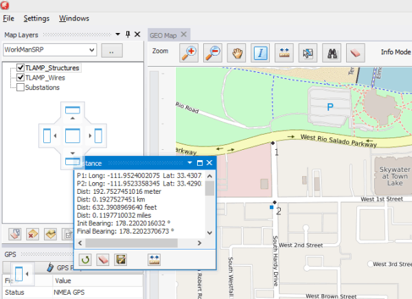
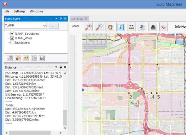
Measure cumulative distance
Data point simulation and route recording
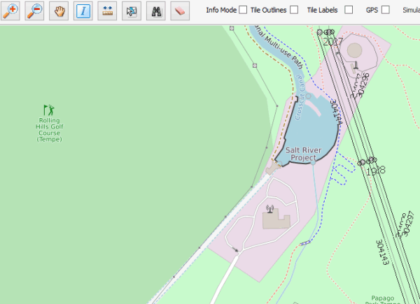
Display tile outlines and labels
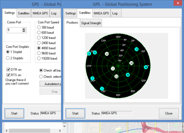
GPS integration
GPS connectivity enables real-time display of GPS location and data readout
Through the GPS properties you can view satellite location, signal strength and much more